Professional Land Surveying in Caldwell County, NC
Serving Lenoir, Hudson, Granite Falls, and the Foothills Region
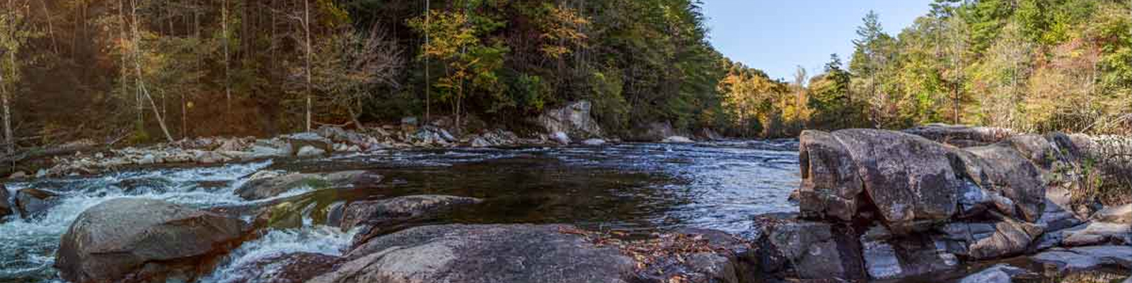
Caldwell County offers a diverse terrain, stretching from the industrial corridors of Lenoir and Granite Falls to the scenic elevations of the Brushy Mountains and the Pisgah National Forest. Whether you are managing a commercial development near Highway 321 or defining boundaries for a rural estate near the Yadkin River, precision is essential for long-term property security.
At Suther Engineering, we leverage advanced surveying technology and extensive courthouse research to provide land surveying services that meet the rigorous standards of Caldwell County lenders, title companies, and local municipalities.
Our Core Surveying Services
- Boundary Retracements: Many Caldwell County parcels involve complex historical descriptions. We specialize in locating established markers and identifying potential encroachments to protect your investment.
- Topographic Mapping: Essential for the varying grades of the Western Piedmont. We provide high-accuracy contour data necessary for residential site prep and commercial drainage designs.
- Minor & Major Subdivisions: We assist landowners in dividing family land or developing new residential communities, ensuring all plats meet Caldwell County Planning and Development ordinances.
- ALTA/NSPS Land Title Surveys: Providing the gold standard of surveys for commercial property acquisitions and high-value real estate transactions across Lenoir and Hudson.
Why Choose Suther Engineering?
Our firm bridges the gap between traditional land surveying and modern civil engineering. We don’t just provide a plat; we provide a clear path forward for your project, ensuring compliance with local regulations and providing technical documentation that stands the test of time.